Carto/topo/Geo/Graphic
If you unfold a map, what do you see? Colours and forms, a legend and scale, a compass rose, borders and shorelines, lakes, rivers and oceans. Latitude and longitude. Does it show you how to get from A to B safely and efficiently? Are you looking for a highway, a railway, an airport, or a path? What does the map display, and what has been omitted? The designer or committee that put the map together did so with intent, to reveal as much information as possible in a consistent and legible manner.
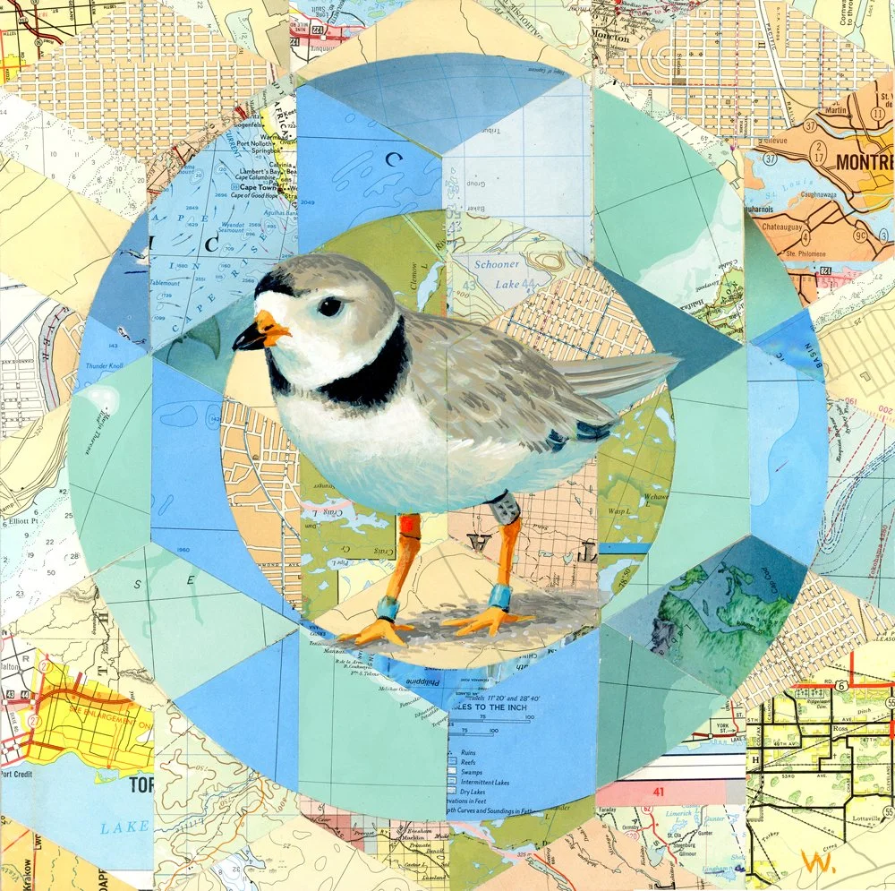
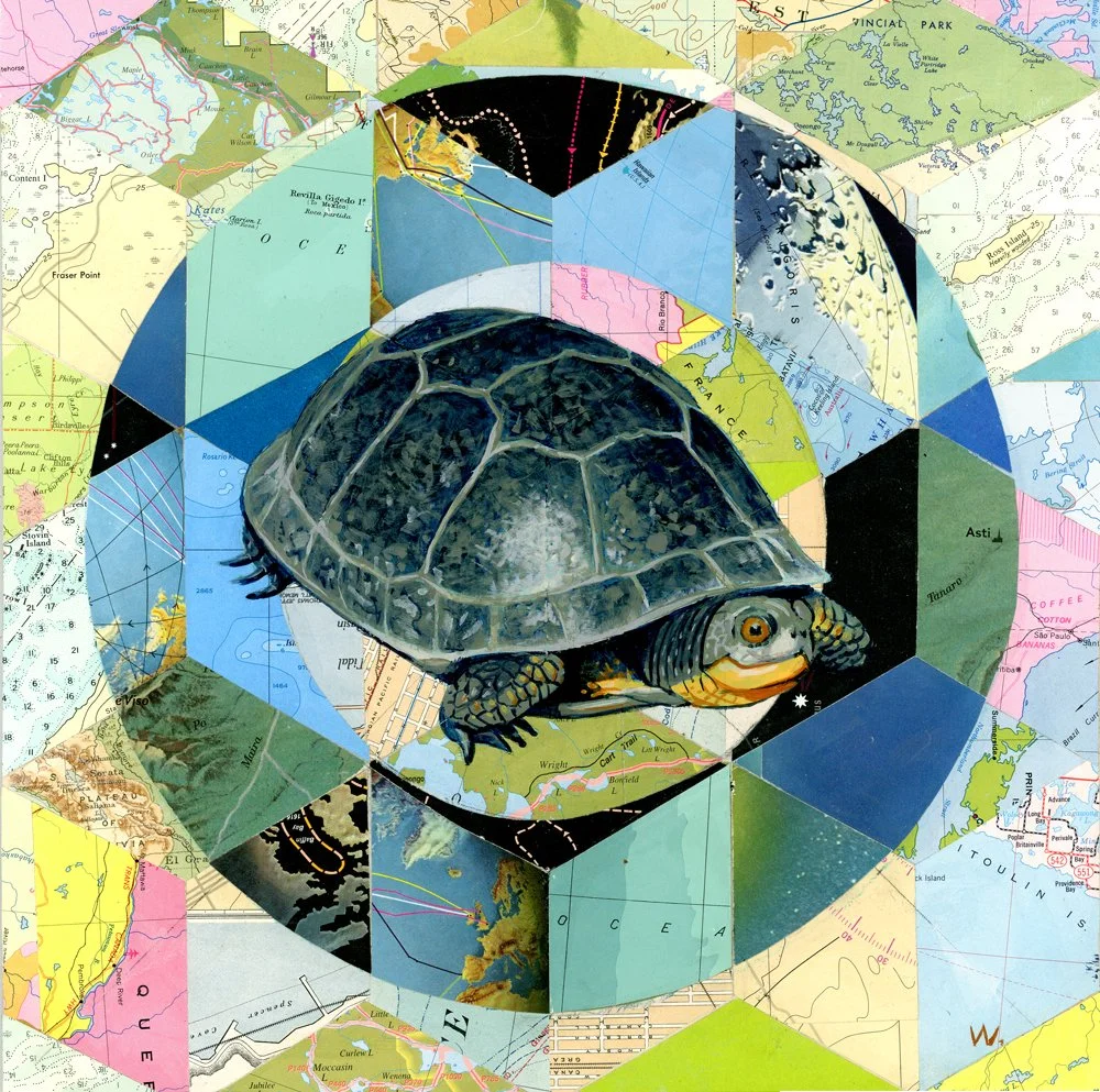
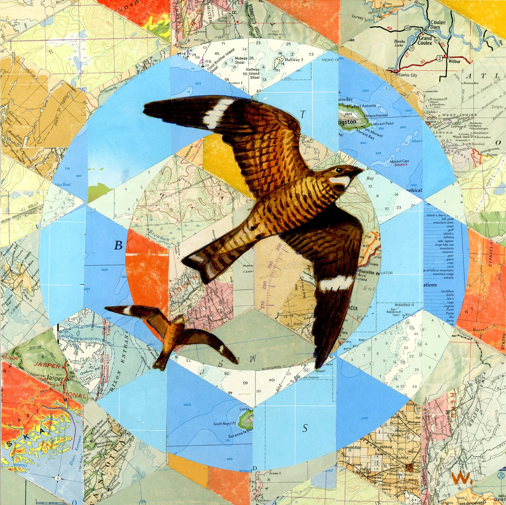
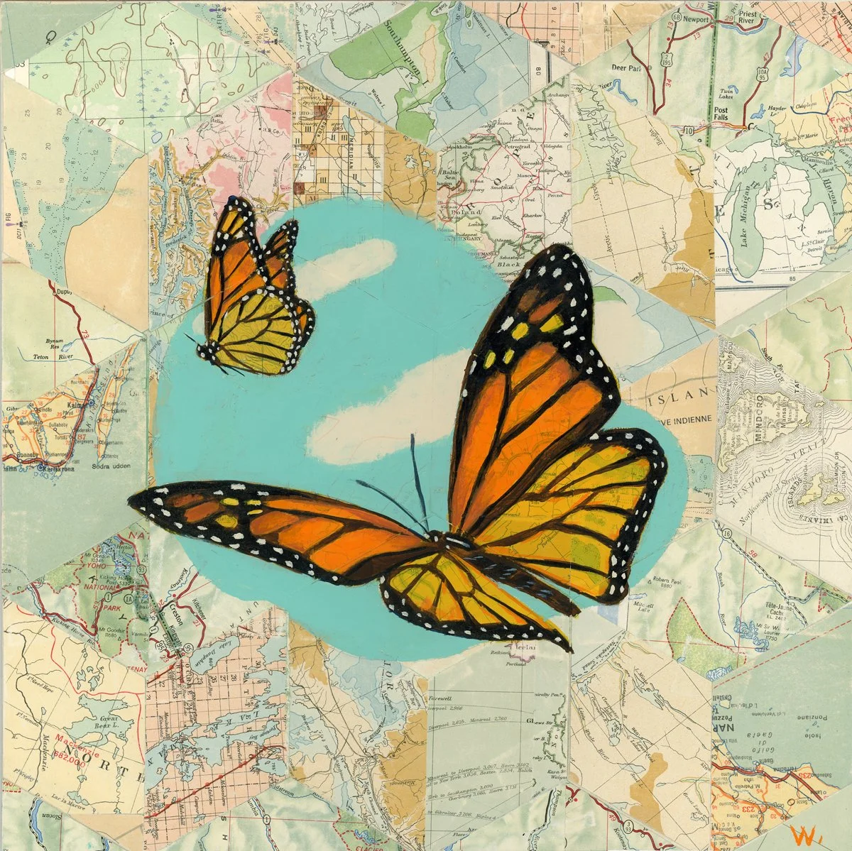
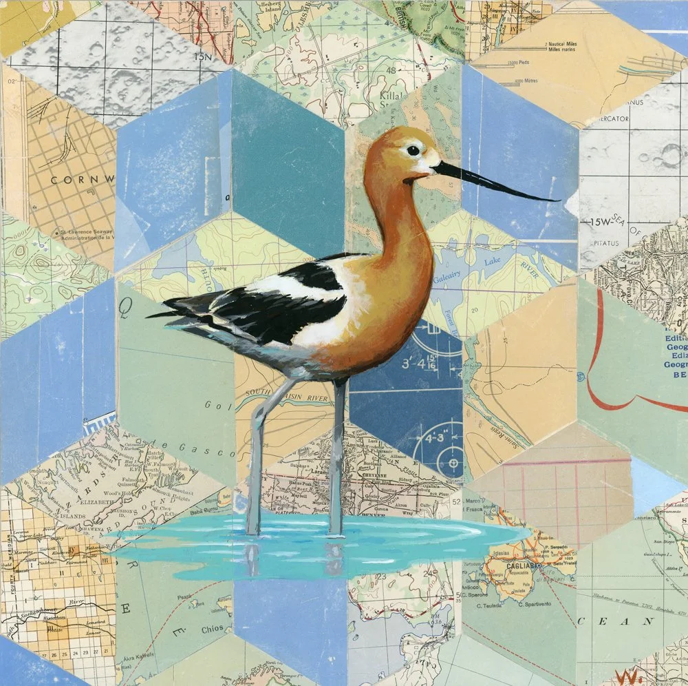
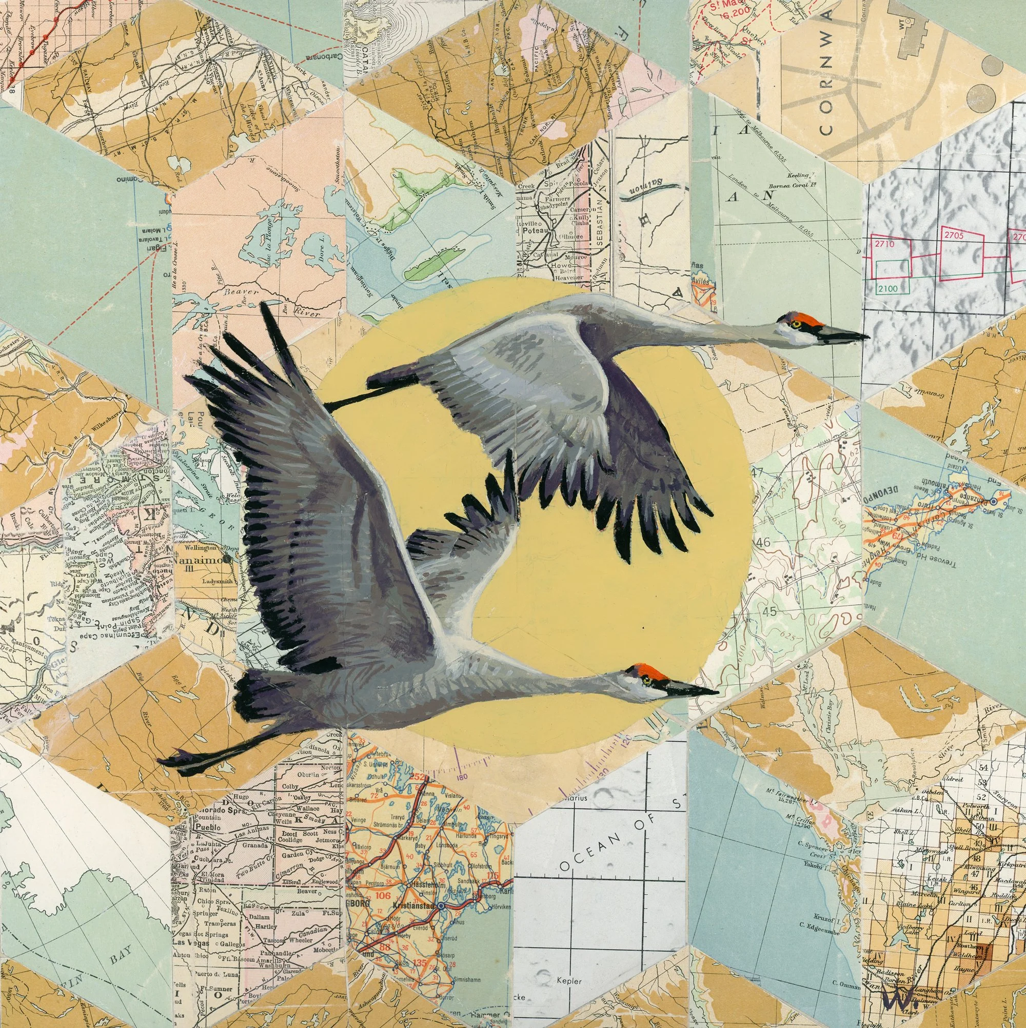
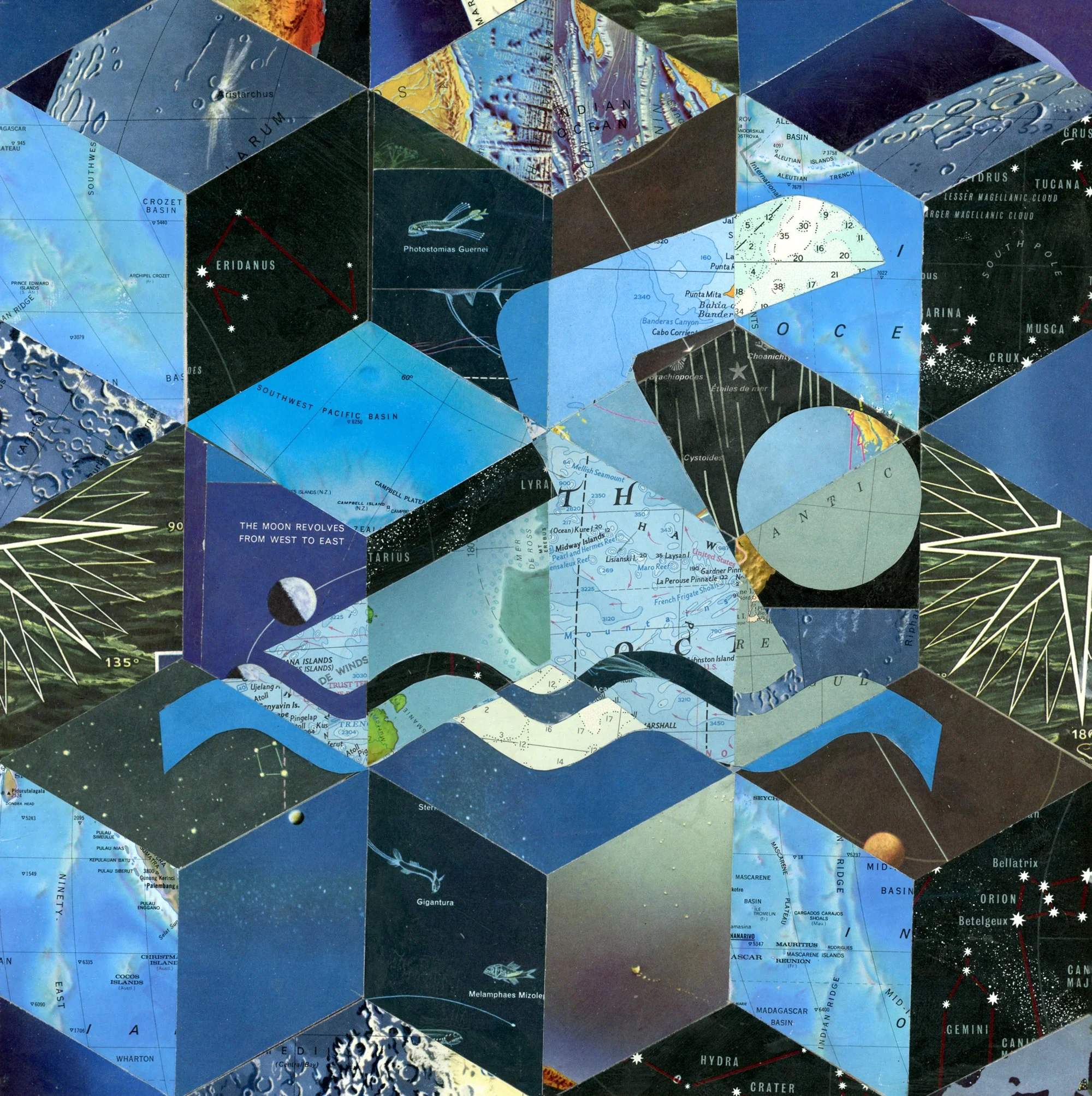
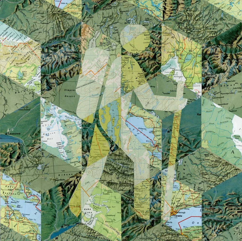
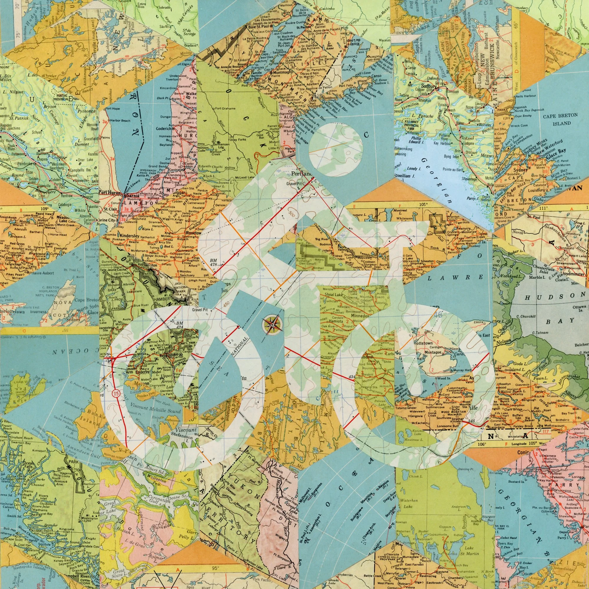
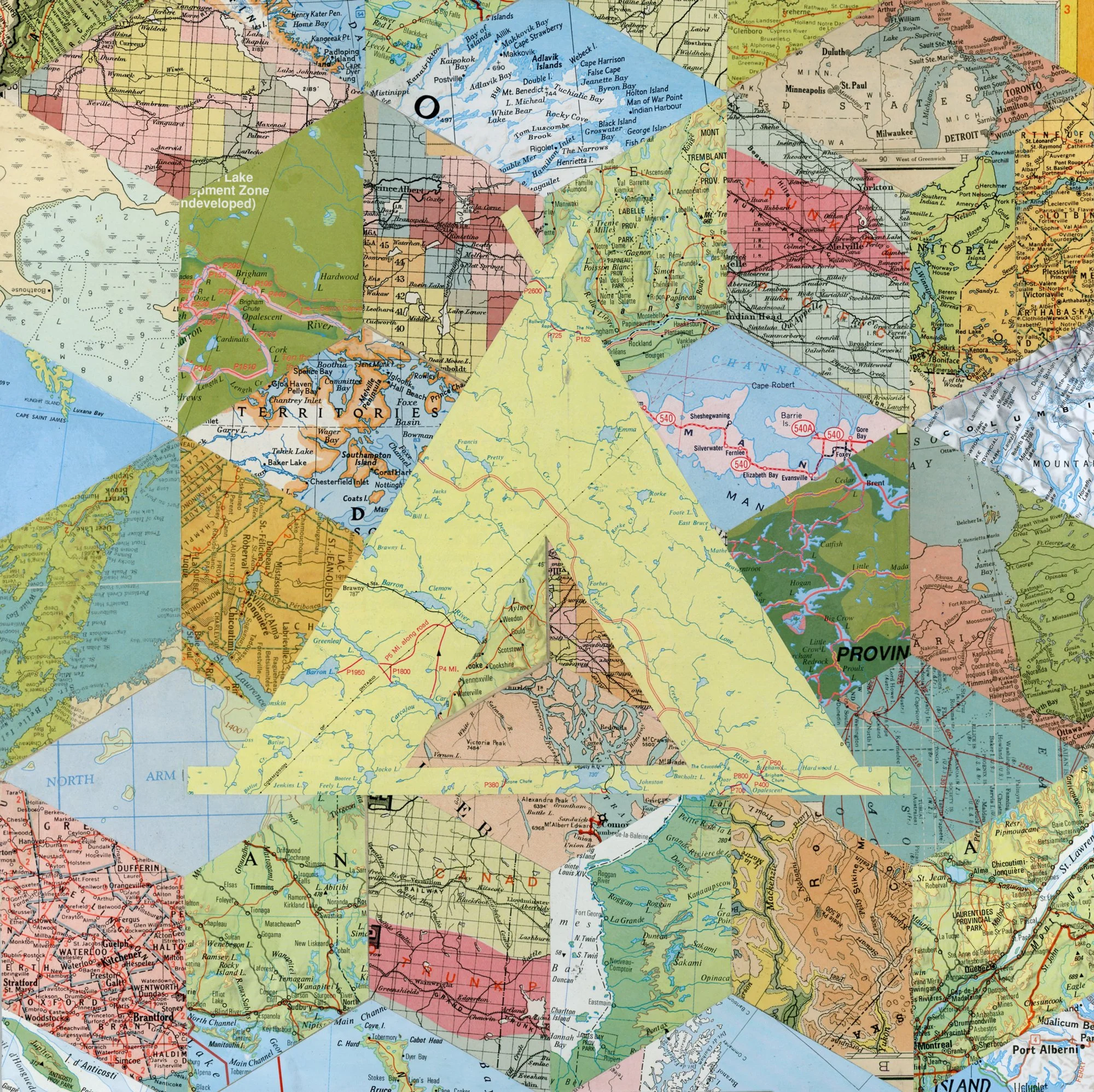
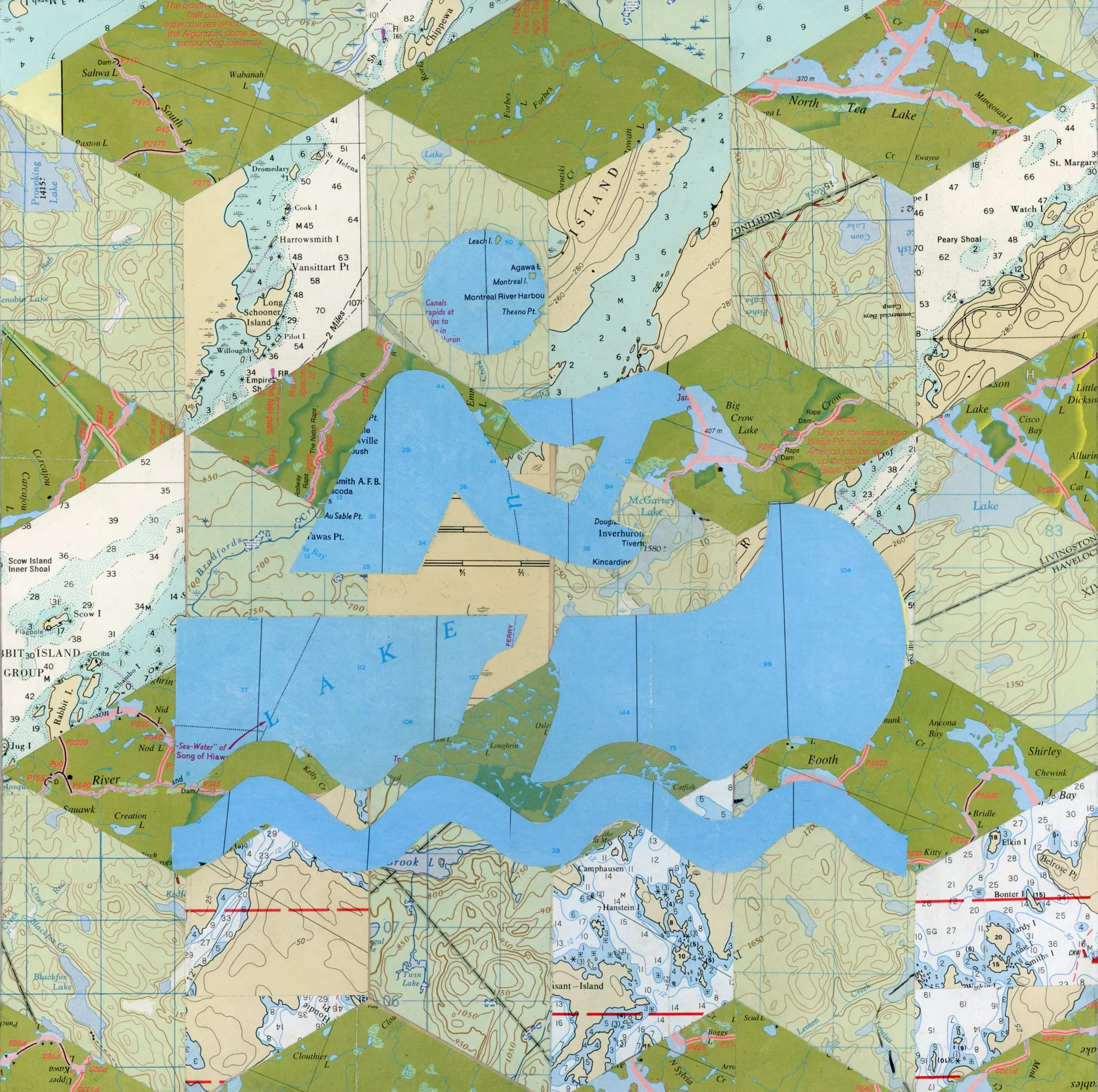
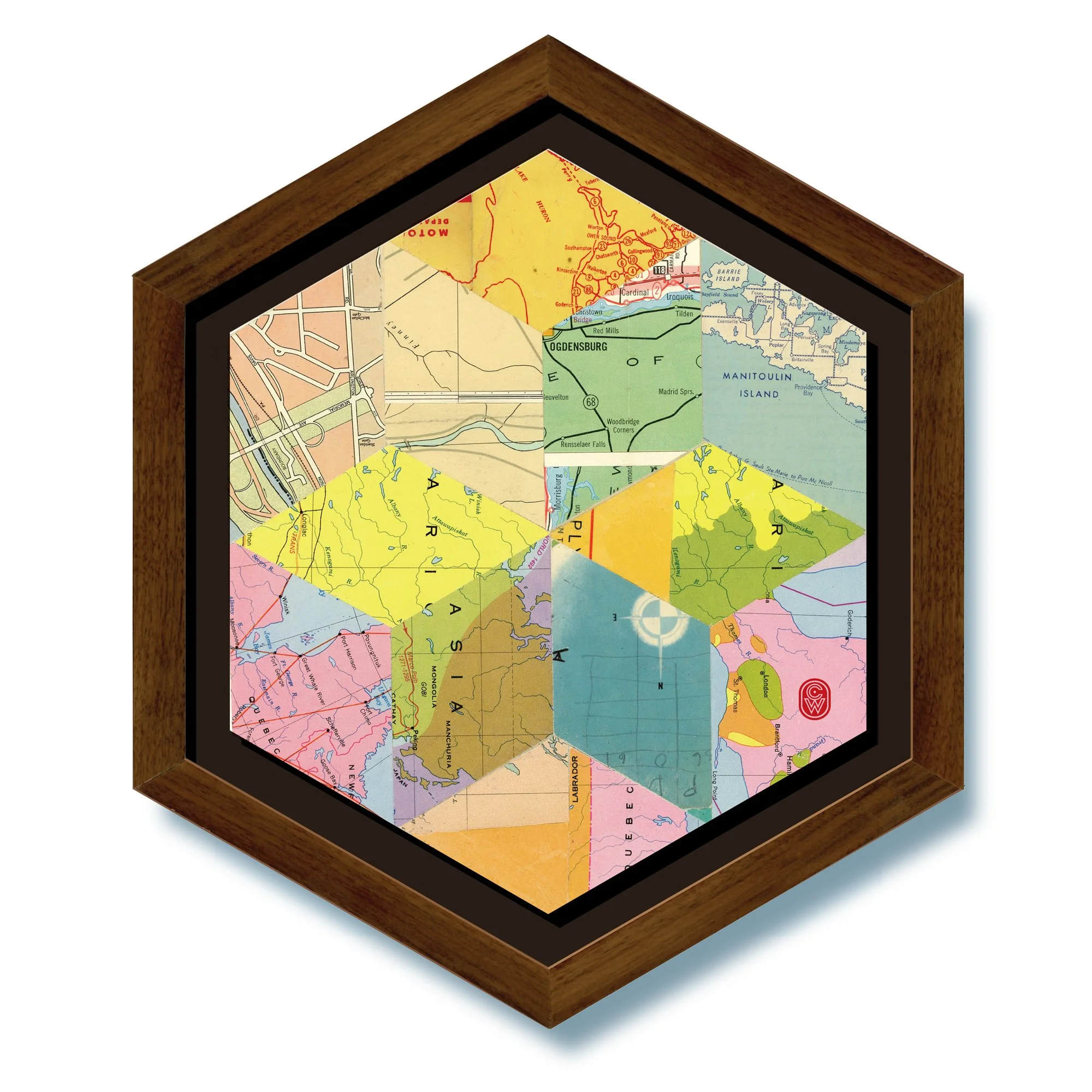
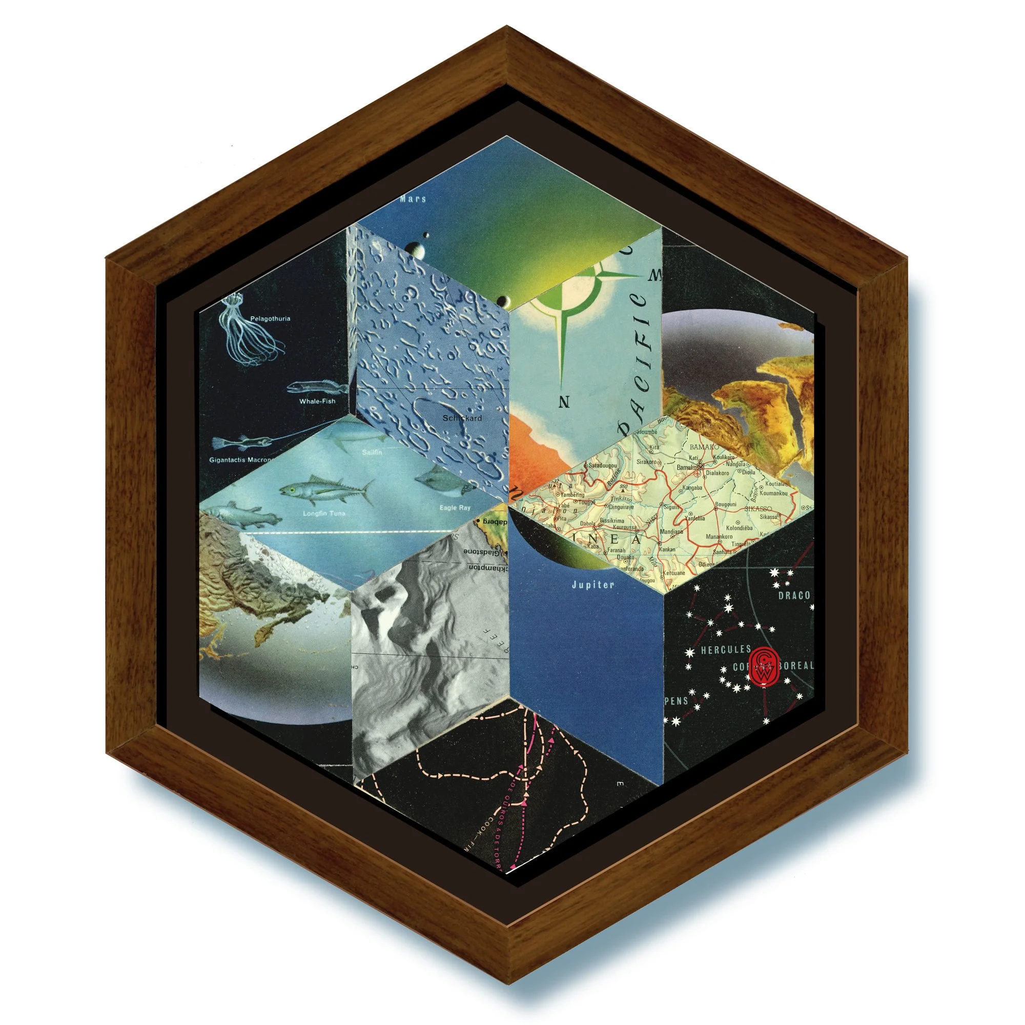
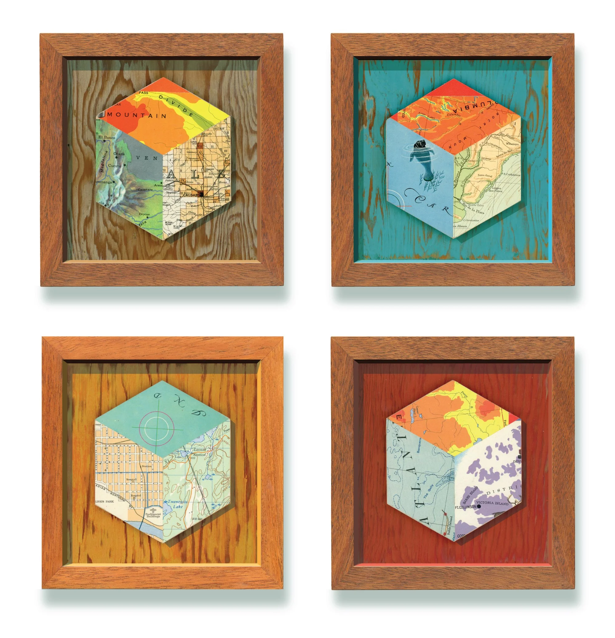
This exhibition is an exploration of map aesthetics and design, the graphic qualities that go into making and interpreting maps. This body of work is the culmination of a year spent collecting, cutting, layering, and re-imagining vintage maps and atlases.
The pieces shown here transform historical materials into contemporary compositions that speak to memory, geography, and the human impulse to map and understand the world. Maps become both medium and metaphor - charting imagined landscapes as much as physical ones.